| This Gallery organizes sub-albums of pictures in to regional albums. See the map in the Overview for the relative locations of the regions. The circles on the maps indicate the 1.5 km field of view taken with a DJI photographic drone. There are six regions that include multiple launch sites of the drone. At each site many images were taken to cover most of the areas. |
May 2026: 46 Launch Sites (sub-albums) 600+ Images |
The images here are panoramic, telephoto and wide angle aerial views of the landscape that make up the proposed Chain Lakes Wilderness area. The images show CLWA's important features as well as the overall character of the surrounding landscape. |
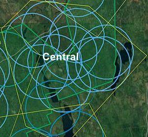
Central CLWA
12 Areas: Lakeview North, Palmer Lake, Government Stillwater, Hardwood Hill Area, East Chan Lakes HPF area, Chain...
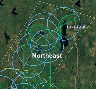
Northeast CLWA
7 Areas: Lake Paul, North Twin Lake, North of North Twin Lake, N. Twin (November), South Twin lake, SE of S. Twin Lake...
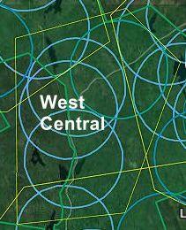
West Central CLWA
4 Areas: East Twin Lake, Fire Road, Burned and Clear Area, Alton Road Burned and Cut Area
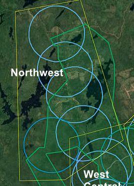
Northwest CLWA
5 Areas: Cloud Bite, Shell Camp Clear Cut Areas, Fox Lake Area, Peter Lake Area, Shell Camp Lake Stream
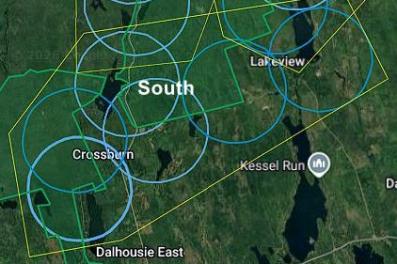
South CLWA
7 Areas: Upper Sixty Lake, Lower Sixty Lake, Crossburn, Lakeview, West Lakeview, Armstrong Lake, Crown Land Southern...
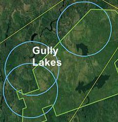
Gully Lakes - CLWA
3 Areas: Upper Gully Lake, Gully Lake Harvest Plan Area, Gully Lake1

Trees, Wildife, etc
This collection of images are not here to document individual wildlife items in the Chain Lakes area.