default
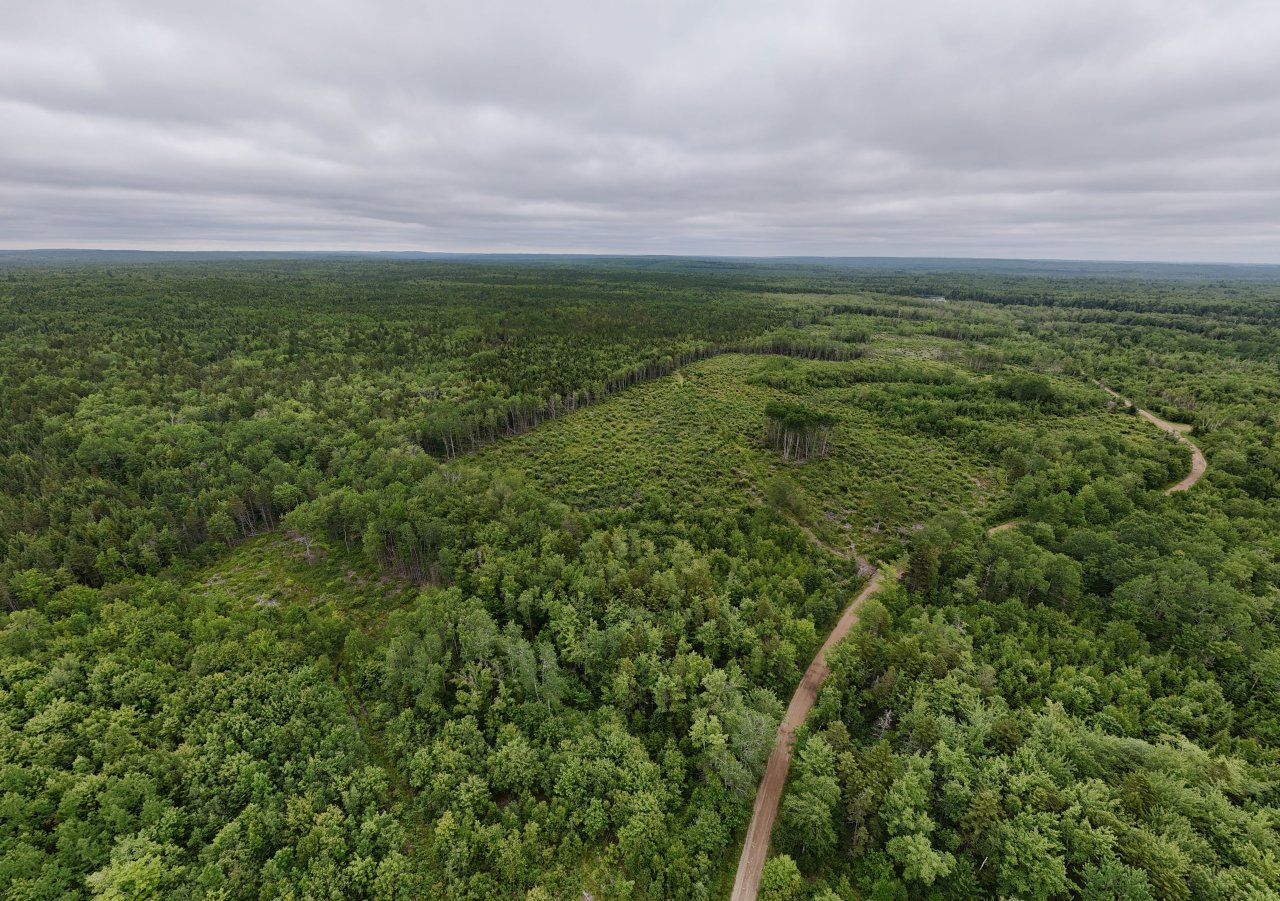
The road parallel the Crown Land Boundary. Most of the private land to the east has been clear cut recent. The Proposed High Production Forestry is planned for the Crown land seen here to the left.
| Camera Maker: | DJI |
| Camera Model: | FC8282 |
| Date and Time Taken: | 2025-06-23 12:58 |
| Original Date and Time Taken: | 2025-06-23 12:58 |
| Shutter Speed: | 1/2000 sec |
| Aperture: | f/1.7 |
| ISO Sensitivity: | 160 |
| Exposure Compensation: | 0 EV |
| Focal Length: | 6.7 mm |
| 35mm Focal Length Equivalent: | 24 mm |
| Latitude: | 44.748307805556 |
| Longitude: | 64.795701277778 |
| Altitude: | 282.8 m |